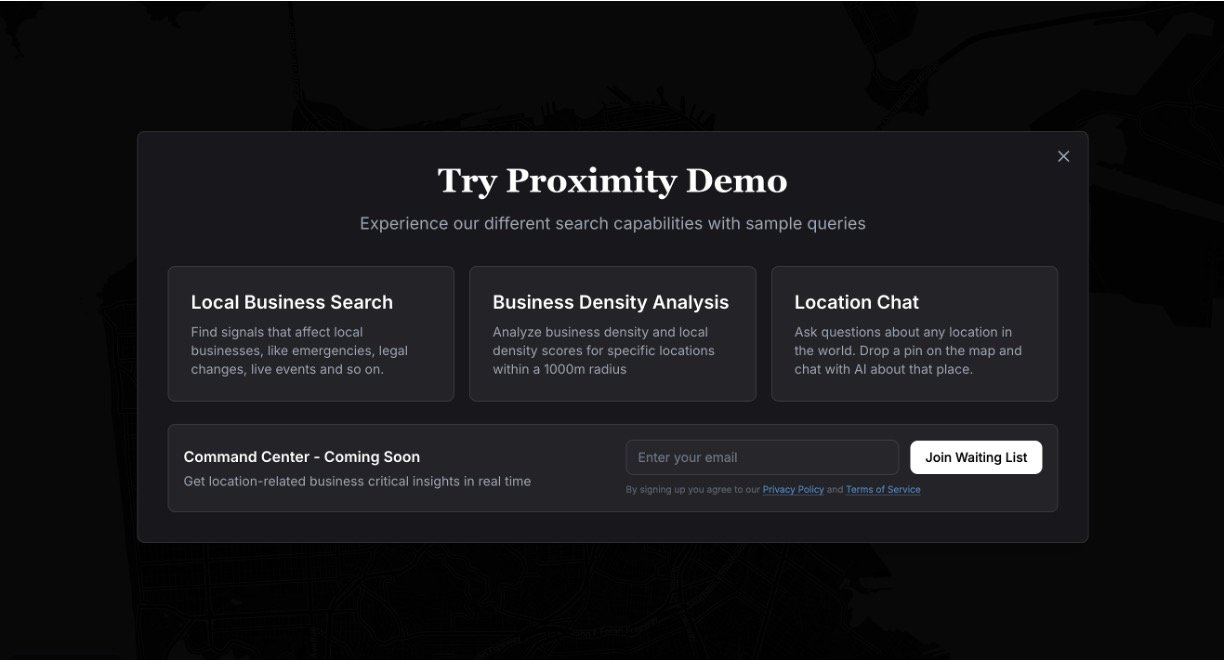
Proximity AI is a cutting-edge platform designed to bring real-time awareness and understanding of the physical world by connecting diverse data streams like permits, sensors, supply chains, public data, cameras, satellites, and more. Unlike traditional maps or simple data feeds, Proximity offers a "logic layer for reality," uniting these data sources through intelligent models to reveal actionable insights about what is happening around you. It empowers users to anticipate events, make informed decisions, and respond to changes faster than others by exposing hidden patterns in everyday environments.
Key Features:
Integrates multiple real-world data sources including sensors, imagery, public permits, and satellite feeds.
Offers intelligence and logic models that connect and analyze data to show hidden correlations and trends.
Provides personalized and context-aware insights like optimal routes or impacts of local events on business.
Focuses on actionable, real-time awareness rather than static maps or delayed information.
Use Cases:
Urban planning and route optimization considering real-time events and roadworks.
Retail site selection and business hours adjustment based on local activity patterns.
Personal decision-making such as choosing housing based on neighborhood dynamics and environmental factors.

